BOATsmart! Canada
Knowledge Base
Module 03 - Before Heading Out
Marine Charts and Nautical Publications
To navigate safely on Canada’s waterways, every boater should know:
- How to plot a course and use a compass with marine charts
- How to determine their position on a waterway
- How to locate and reference navigation aids on a marine chart
- How to properly use electronic navigation equipment (such as a GPS)
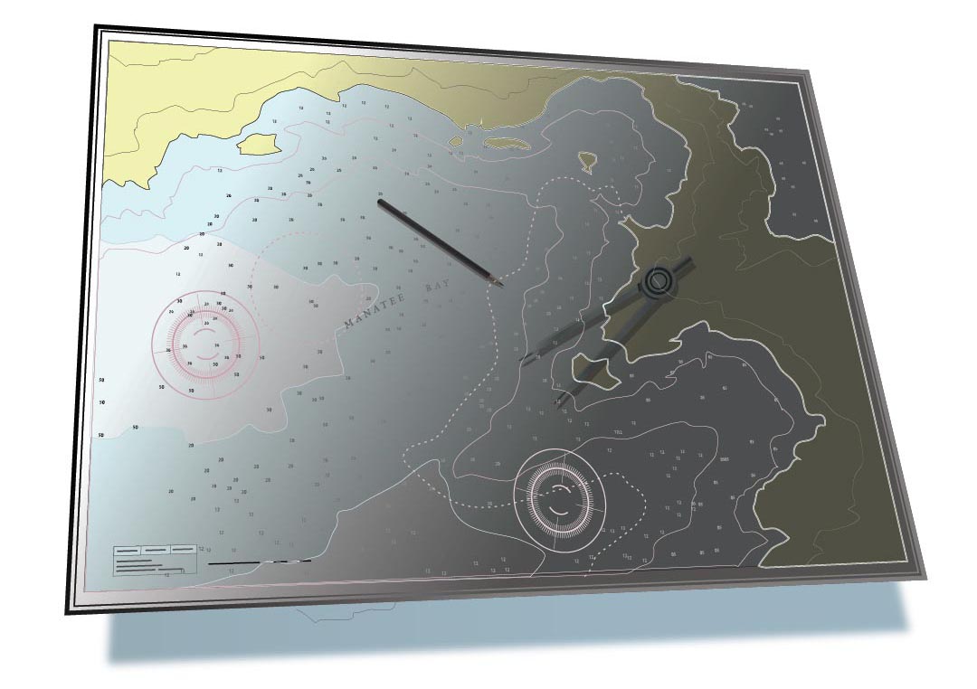
What are Marine Charts?
Marine charts are published by the Canadian Hydrographic Service (CHS), and are like the ‘road maps’ of Canada’s waterways. Marine Charts indicate:
- Safe boating routes and water depth
- Underwater and navigation hazards
- Traffic routes, and the location and character of charted shipping routes
- Aids to Navigation including lights, buoys, and markers
- Coastal areas, landmarks around a body of water, and areas to take shelter in bad weather
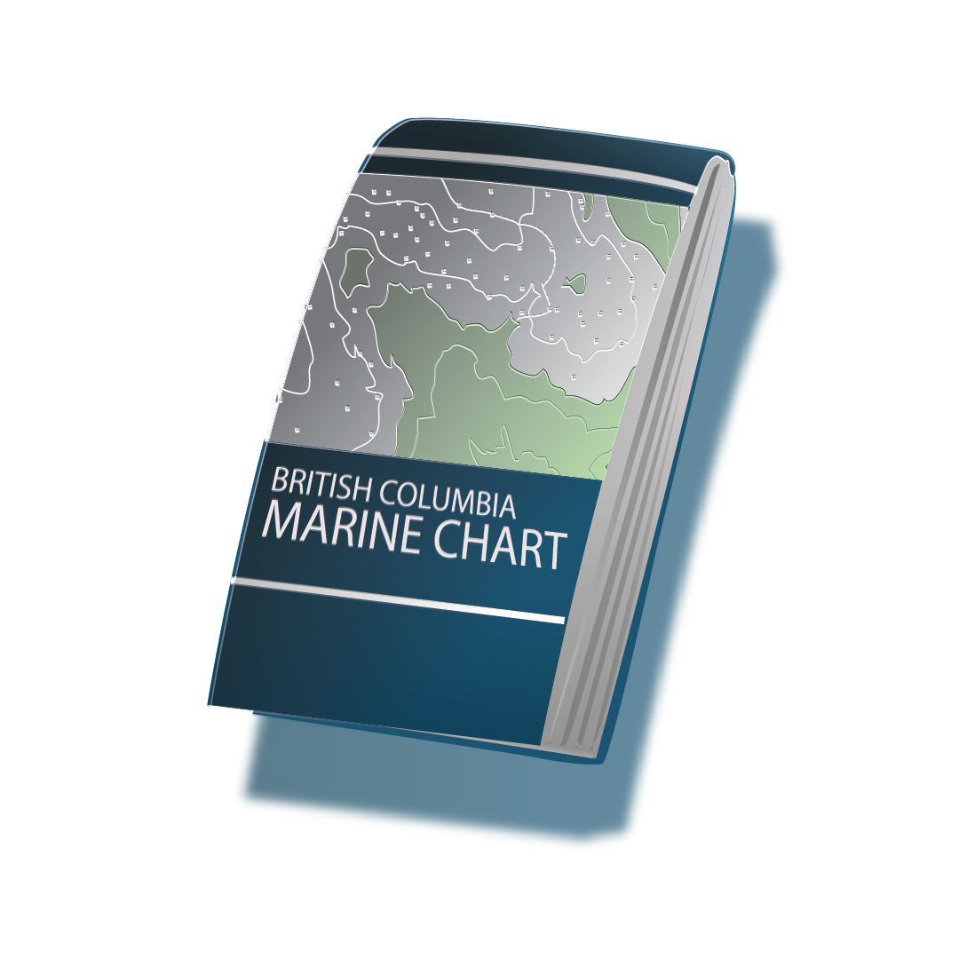
The Charts and Nautical Publications Regulations require that boaters carry the latest and largest scale versions of:
- Local Marine Charts
- Required publications and documents such as Current Atlases and Tide Tables.
Note: Marine charts must be updated with information from Notices to Mariners, to ensure that they have the latest changes to routes, buoys, and water depth.
You may be exempt from the requirement to carry Marine Charts and nautical publications if your vessel is under 100 tons and powered by oars, or if you have substantial knowledge of the local waterway.
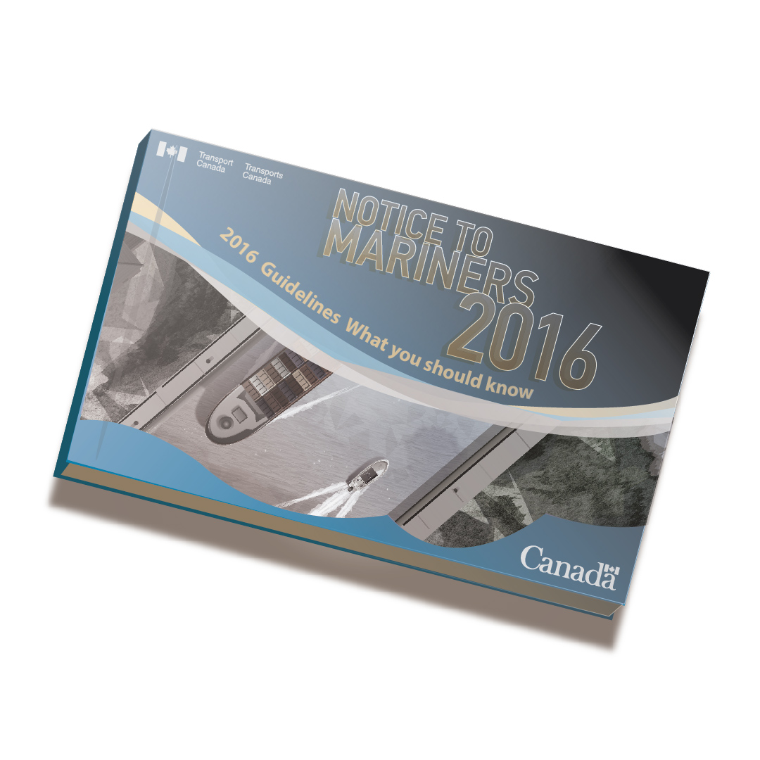
What are Nautical Publications?
Nautical publications and documents include 'Notices to Mariners', ‘Sailing Directions´ and ‘Tide Tables’.
Boat operators should check nautical charts and publications for water levels, times of low, slack, and high tides, and the direction of water flow.
Topographic Maps
Topographic maps are published by Natural Resources Canada and other provincial authorities.
Topographic maps depict:
- Natural and artificial features on land
- Shorelines
- Rocks
- Elevations and land features
- Hazards near or above the waterline.
If a nautical chart or publication is not available for a body of water, topographic maps can be a useful navigation tool. However, it’s important to remember that topographic maps are meant for use on land. They do not depict underwater hazards, navigation aids, channels, or anchorage areas.


Get your Official Canadian
Boating License
The Official Transport Canada Boating Course, Test & License.
Get your Official Canadian
Boating License
The Official Transport Canada Boating
Course, Test & License.

