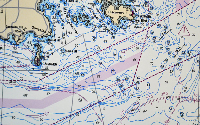
Marine Charts and Nautical Publications
Safe boating is more than just a matter of operating your boat in a responsible way. Familiarize yourself with local water hazards or dangerous conditions that may effect the safe operation of your boat, before heading out.
Refer to a marine chart or nautical publication to determine the location of hazards on the lake, river or ocean. Likewise, use charts to know the location of safe harbours or shelter. You can also talk to local operators and marinas that are familiar with the waters. For instance, they may know about specific hazards that you may come across or dangers you should avoid.
What every boater should know
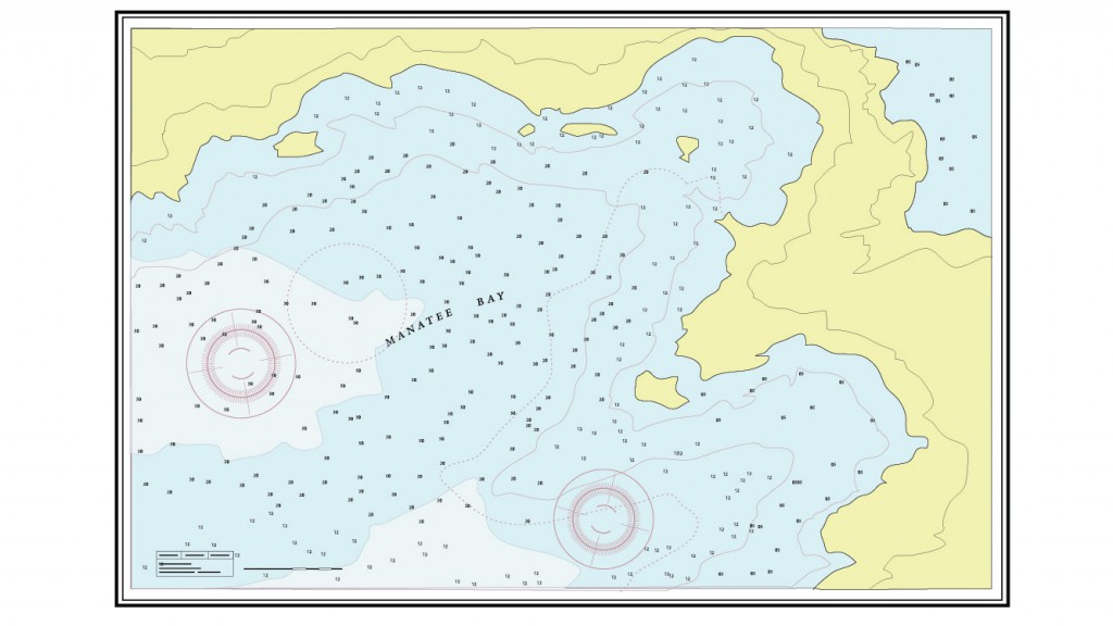
Marine charts are like a map of waterways. They show safe navigation routes and the location of markers, buoys and local water hazards. To navigate safely on waterways, every boater should know:
- How to use a compass along with marine charts
- How to plot a course using a marine chart
- Positioning methods
- How to locate and reference navigation aids on a marine chart
- How to properly use electronic navigation equipment
Boat operators should check navigational references and publications (including tide tables) for water levels, times of low, slack and high tides and the direction of water flow. Marine charts and tide tables are published by the Canadian Hydrographic Services (CHS) in Canada and the National Oceanic and Atmospheric Administration (NOAA) in the USA.
Importantly, nautical charts onboard must be updated with information from Notices to Mariners available from CHS, to be sure they contain the latest changes to routes, buoys and water depth.
Get your Official North American
Boating License
The Official NASBLA and Transport Canada Boating Course, Test & License.
Get your Official North American
Boating License
The Official NASBLA and Transport Canada Boating
Course, Test & License.
What do marine charts depict?
Marine charts depict:
- Depth
- Underwater hazards
- Location and character of charted shipping routes
- Aids to Navigation including lights, buoys and markers
- Traffic routes
- Adjacent coastal areas and landmarks around a body of water
- Navigational hazards
- Places to take shelter in the event of foul weather
The Charts and Nautical Publications Regulations require that boat operators carry the latest and largest scale versions of:
- Local Marine Charts
- Required publications and documents (such as ‘Current Atlases’ and ‘Tide Tables’). You may be exempt from these requirements if your vessel is under 100 tons and powered by oars or if you have substantial knowledge of the local waterway.
Topographic Maps
Topographic maps can be useful to boat operators. These maps depict natural and artificial features on land and include illustrations of shoreline contours, rocks, elevations and land features or hazards near or above the waterline.
In some instances, such as when a nautical chart or publication is unavailable for a body of water, topographic maps may aid in the navigation of local waterways. However, topographic maps are intended primarily for use on land, they do not depict underwater hazards, navigation aids, channels or Anchorage areas.
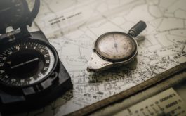
Using a Compass
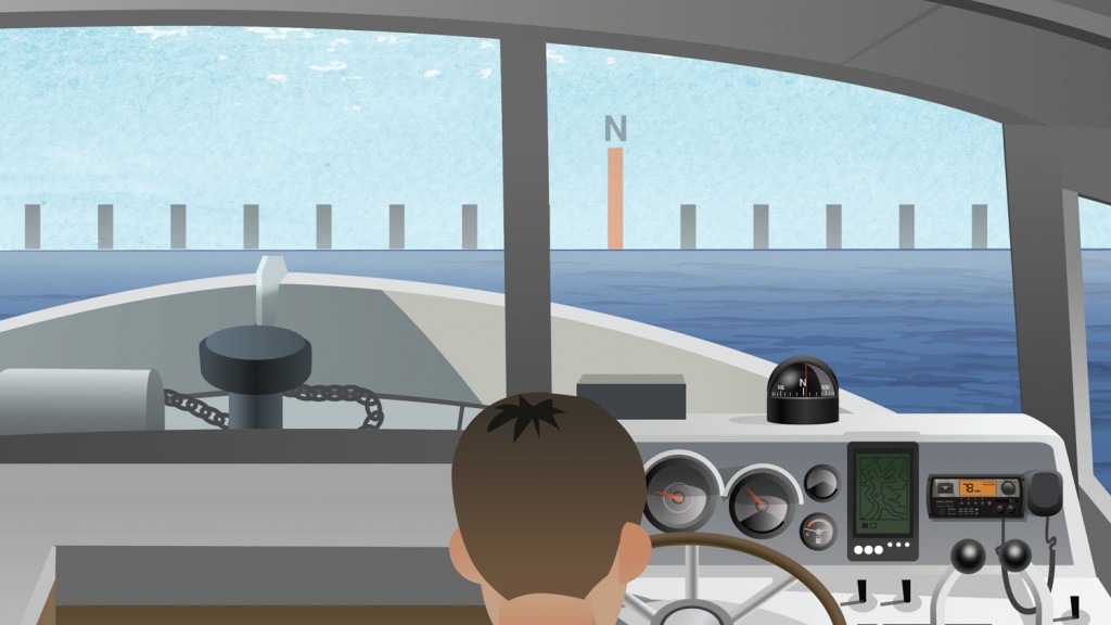
The most common type of compass is magnetic. It points to magnetic north. It does this by small magnets which are attached to the compass card. The compass card has a degree-scale which sits on a small bearing. This allows the card to rotate freely as you change direction – it’s kept in liquid air to allow free movement. You can read your direction using the needle or lubber line.
Using a marine GPS device
Marine GPS (Global Positioning System) devices can be used to identify your location. Moreover, some of today’s systems are able to pinpoint your position to within several feet. Marine GPS devices are becoming a popular tool with boating enthusiasts.
Nautical publications and marine charts are now available in electronic format can be used in conjunction with Marine GPS. This offers boaters an extremely high degree of navigation certainty. Keep in mind that Marine GPS may only be accurate to within 30m. On the other hand automotive GPS will not provide the information you need on the water.